Mt Hood Wilderness

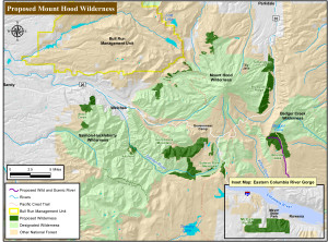
mt hood wilderness proposal mapOregon Wild is still working to expand the Mt Hood Wilderness designation in the Boulder Lake / Barlow District area of the Mount Hood National Forest. It’s all part of what they call “unfinished business” related to the 2009 legislation which added wilderness status to new sections of the Mt Hood National Forest.

The newest additions sought will impact mountain bike recreation on the Barlow District of the Mt. Hood National Forest by closing access to bikes. Specifically, the Boulder Lake zone and the various rides that connect to that area will become closed to bikes. Mt bike access was already impacted by the 2009 Wilderness legislation and this proposal expands the impact.

At this point, the best way to voice your opinion on the proposal is to write our regional reps in the House and Senate – Walden, Wyden, Blumenauer. For those who would like to offer their opposition to increased wilderness designation, here are a few talking points:

  • Between wilderness designation and Bull Run watershed protection, the Mt Hood National Forest has very limited access for multi-use recreation. Adding wilderness designation to more areas further limits an already small multi-use trail system.
  • Contrived wilderness segments with preserved road access weaken the Wilderness Act by not staying true to the Act’s original intent.
  • These are lands which should be managed primarily for recreational value— the areas with true wilderness values on Mt. Hood have already hold wilderness designation.
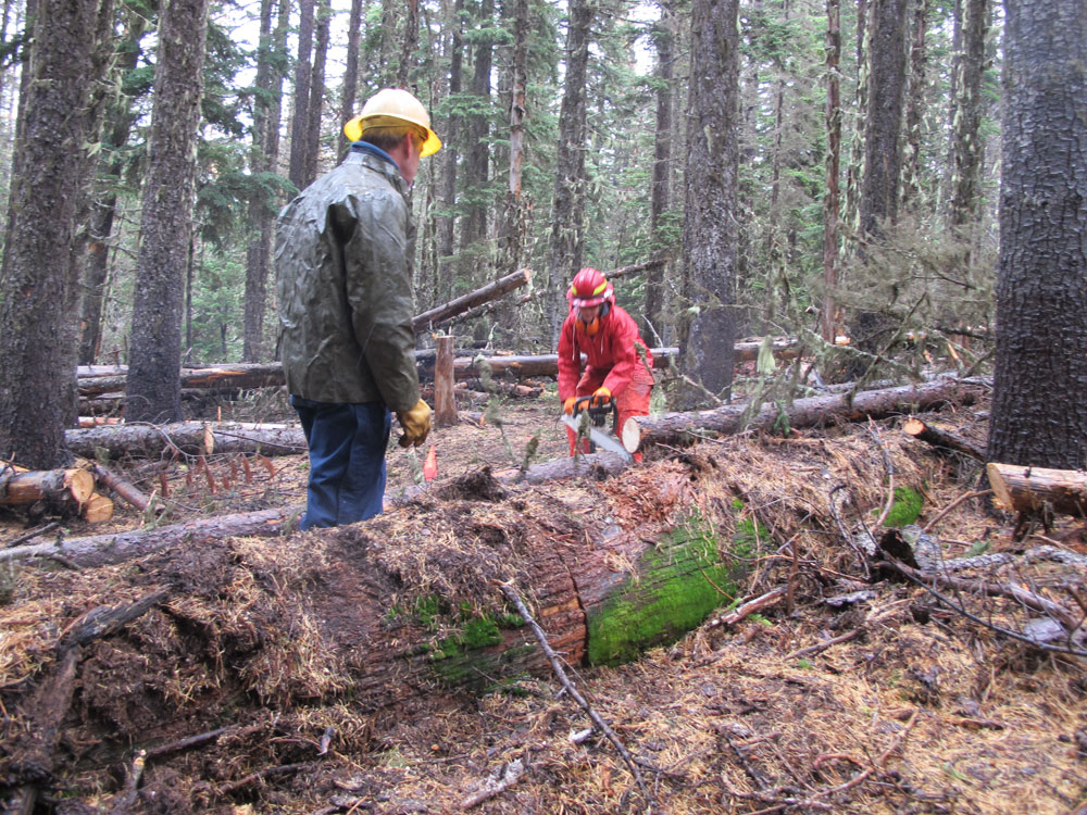
  • Putting the wilderness blanket over these lands makes it difficult to manage them for recreational value — ie. trail maintenance and construction is limited to hand tools so all blowdown must be cleared without mechanized help (chainsaws).
  • We debated these same areas before the 2009 legislation was passed.  The current wilderness designation reflects a compromise that was reached between interested parties. Now, we’re being asked to compromise on the compromise.
  • The 2009 wilderness designation resulted in the loss of approximately 100 miles of multi-use trails and roads. Traffic and use on the remaining multi-use trails in the system has increased to the point that these trails are showing increased signs of wear and tear, requiring more maintenance.


Fire Closure – Mt Hood National Forest

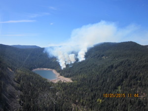
Badger Lake fire mt hoodIf you have not heard, there is a fire near Badger Lake on the Barlow District of the Mt Hood National Forest.

It’s not directly affecting the bulk of the 44 Trails zone, but there are a number of closures to consider if you are headed up to the area, most notably High Prairie, Gumjuwac, Gunsight and most everything adjacent to Badger lake including the Boulder Lake.

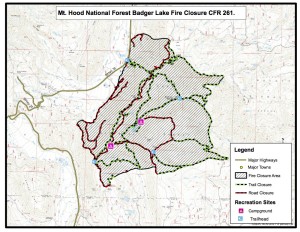
Badger lake Fire mapHere’s the latest official info from the USFS. 

Media Information Line: 503-668-1791/503-668-1776
Public Fire Information: (541) 467-2291
Office hours: 8:00 a.m. to 4:30 p.m.

10/6/15 UPDATE:

The Badger Lake Fire is approximately 60 acres in size and burning in heavy dead and down timber. The fire is located northwest of Badger Lake in the Badger Lake Wilderness. Steep terrain, limited road access and an abundance of snags (standing dead trees) pose challenges for firefighter safety. Retardant was dropped on Forest Road 3550 yesterday with the goal of keeping the fire within the wilderness. Additional retardant has been ordered. Two helicopters continue to work on the fire.
The Badger Lake Fire began on Saturday, October 3, 2015. The cause of the fire is under investigation. Base Camp for the Fire is at Badger Lake Campground.

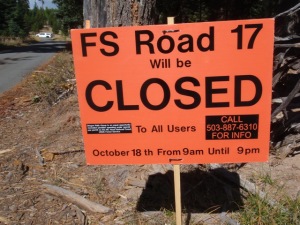
An area closure is in effect for the area surrounding the fire to protect public and firefighter safety as crews work to contain the fire. The closure includes roads, trails and developed recreation sites. Please contact the Barlow Ranger Station for details or the website address below.

PERSONNEL AND RESOURCES: Approximately 70 personnel, including 2 20 person crews, 4 Type 6 Engines, 1 Type 1 helicopter, and 1 Type 2 helicopter, and 12 rappellers.

SPECIAL MESSAGES/CLOSURES: An area closure is in effect for the Badger Lake Fire. For more information on the closure go to the Mt. Hood NF Closure webpage.

Badger Lake Fire Closure
Effected roads:

  • 3500640 Closed
  • 3500641 Closed
  • 3500642 Closed
  • 3500660 Closed
  • 3540000 Closed
  • 3540011 Closed
  • 3540012 Closed
  • 3540630 Closed
  • 3540640 Closed
  • 3540641 Closed
  • 3550000 Closed
  • 3550620 Closed
  • 4860000 Closed
  • 4860140 Closed
  • 4860160 Closed
  • 4880000 Closed
  • 4891000 Closed
  • 4891120 Closed

Effected Trails:

  • 465         PINE CREEK Closed
  • 477         BADGER CREEK CUTOFF Portion Closed
  • 458         DIVIDE Closed
  • 478         CRANE CREEK Portion Closed – North End
  • 464         CRANE PRAIRIE Portion Closed
  • 466         THREE MILE Closed
  • 479A      BADGER LAKE Closed
  • 480         GUMJUWAC Closed
  • 680         JEAN LAKE Closed
  • 467         POST CAMP Closed
  • 477A      WEST FORK Closed
  • 685B      CAMP WINDY Closed
  • 463         BOULDER LAKE Portion Closed
  • 493         HIGH PRAIRIE Closed
  • 685         GUNSIGHT BUTTE Closed
  • 479         BADGER CREEK Portion Closed (West of Bonney Crossing)

Effected Rec Sites are

  • Badger Lake C.G. Closed
  • Camp Windy C.G Closed
  • Bonney Meadows Closed

Cooks Meadow Extension Approved

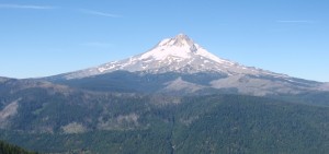
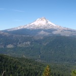
view of mt hood from cooks meadow extension trail

view of mt hood from cooks meadow extension

Well, it took a little longer than we were hoping, but the Hood River Ranger District just approved the proposed Cooks Meadow Extension Trail that we have been hoping to begin work on this fall.
44 Trails Association would like to thank all who commented and added their support  during the public process for the new trail.

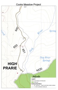
cooks meadow extension map

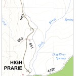
map of area

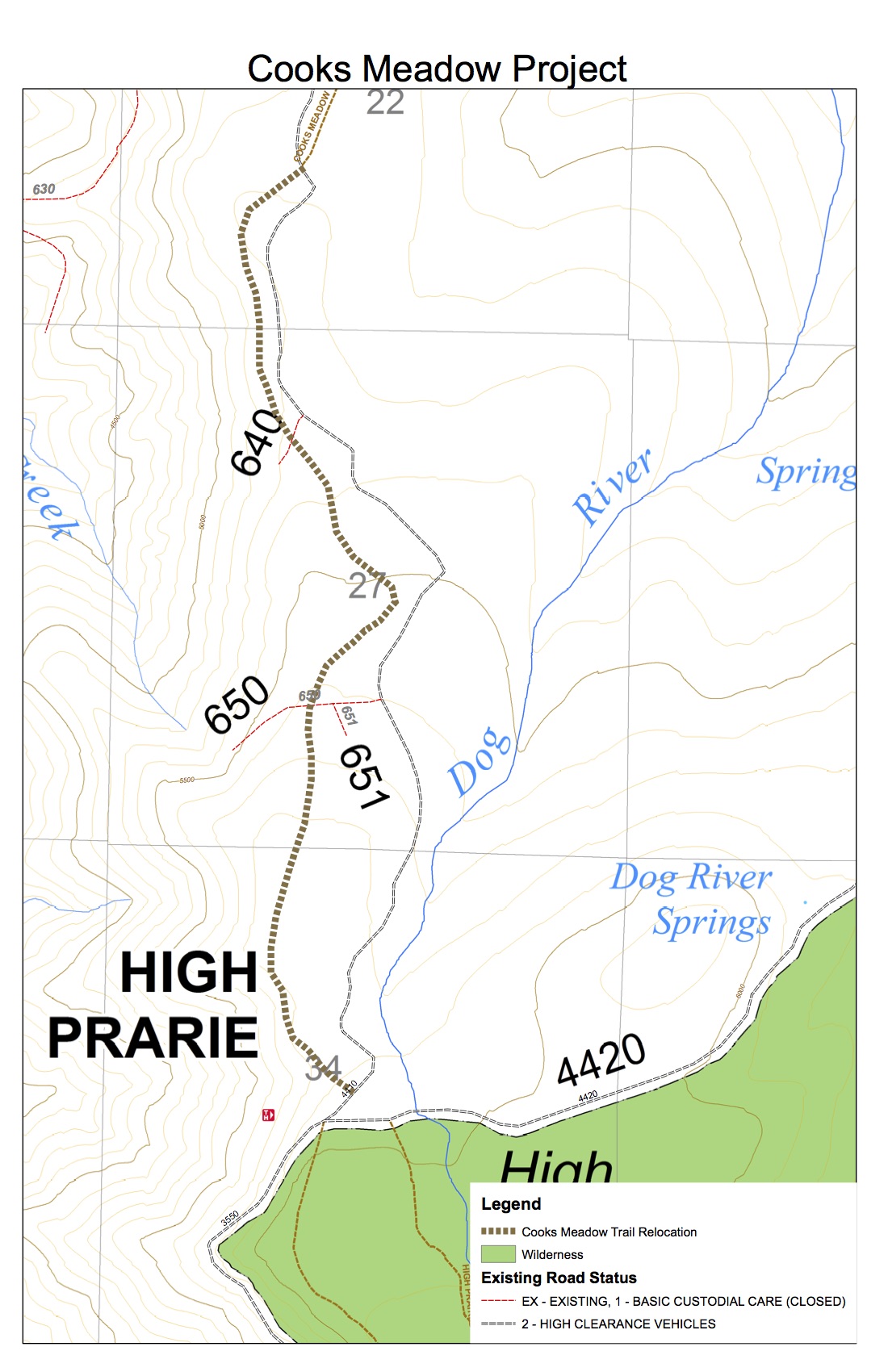
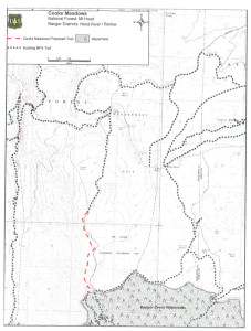
The new trail will move the route off of the 4410 road and create approximately four miles of new single track! A short section (2/10 of a mile) at the very top, which crossed the High Prairie Meadow, was adjusted based on public comment. Although it would have been nice to roll through the meadow, we can live with 2/10 of a mile on the road to connect to the parking lot.

You can read the full Cooks Meadow decision document from the district ranger here.

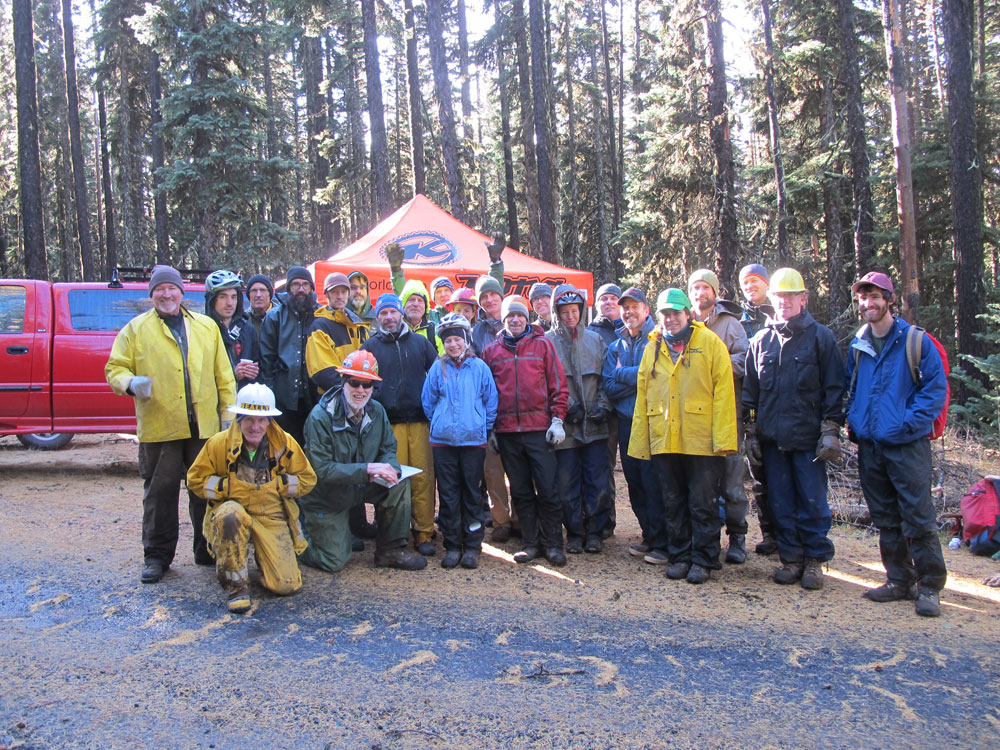
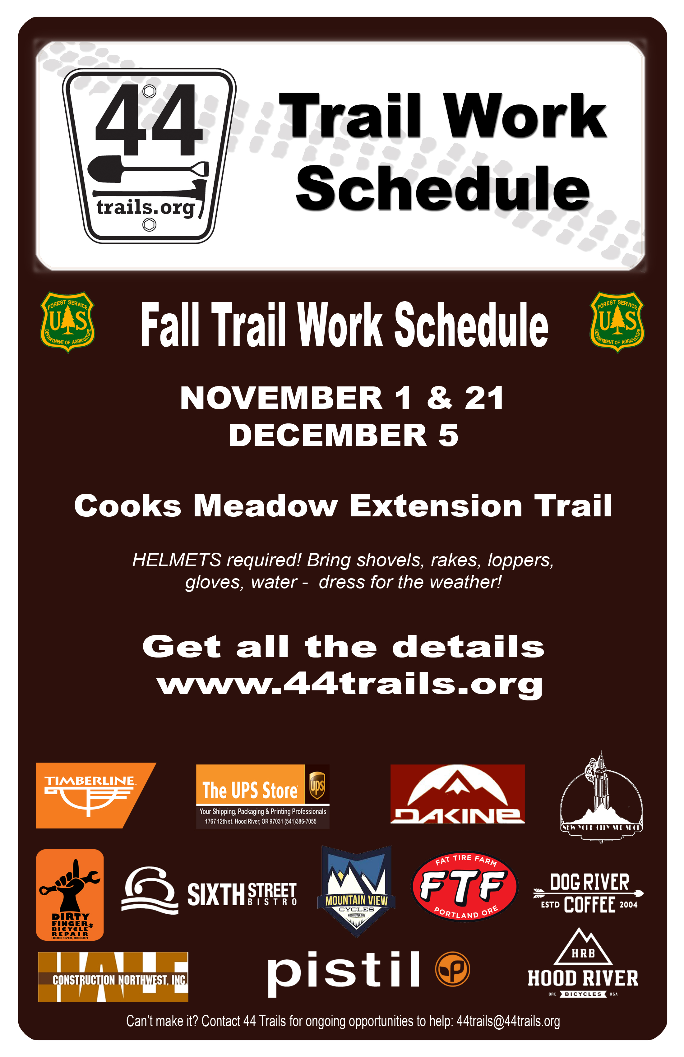
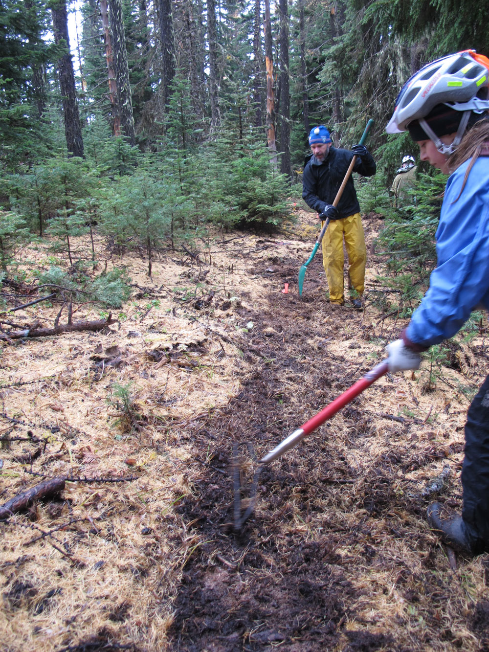
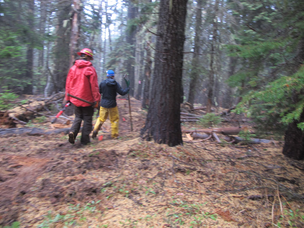
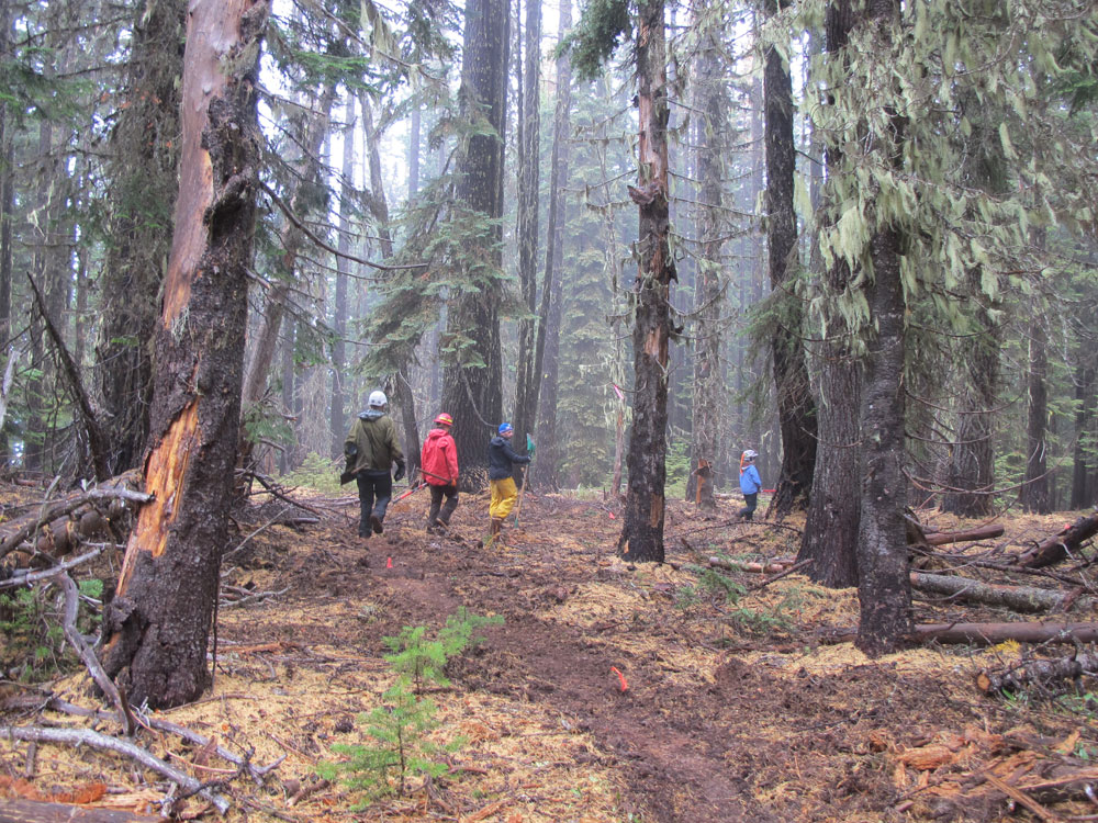
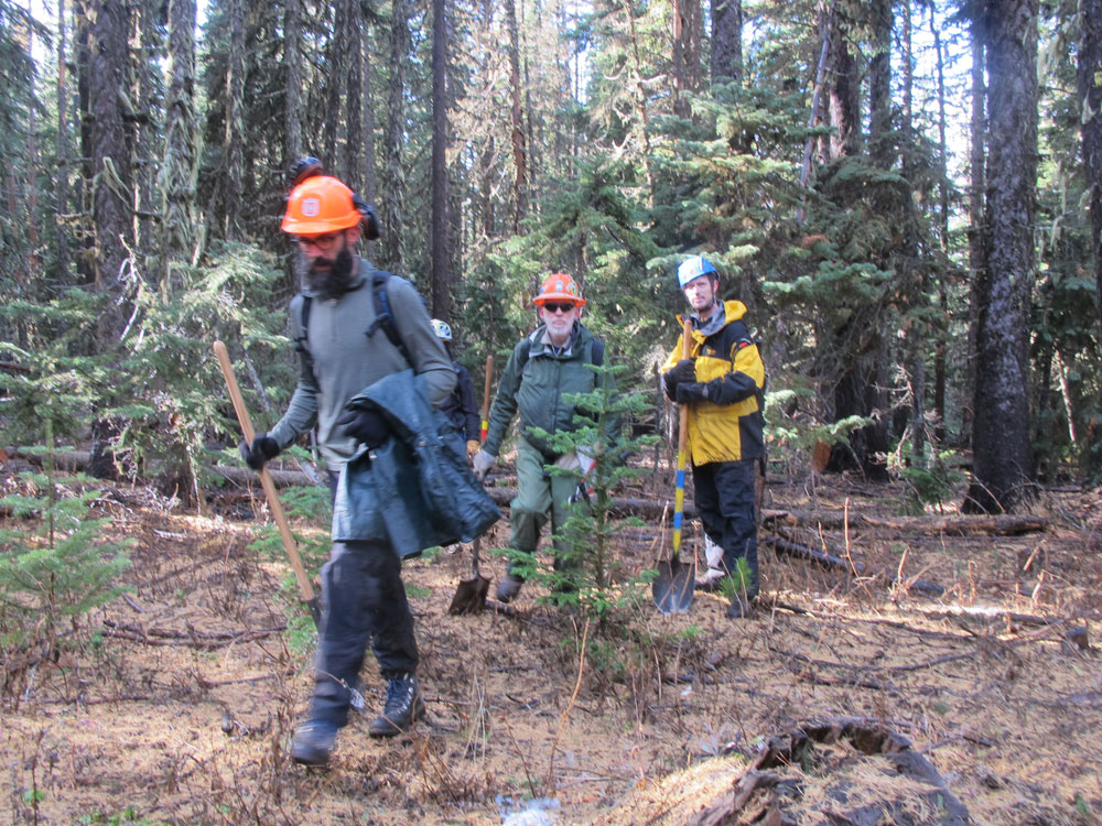
We will announcing our work party schedule before the end of September and hope to hold at least one trail work day this October. Stay tuned for details or sign up for our e-mail list to be notified automatically.

Once completed, the Cooks Meadow extension will connect the lower Cooks Meadow trail with High Prairie and the 450 trail, creating a new loop ride and further working toward our goal of an interconnected trail system worthy of destination riding on the Mt Hood National Forest.

44 Trails Map

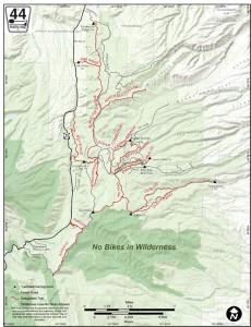
44 trails mapWe recently completed a digital map of the 44 Trails area that is designed for use on your mobile device. The geo-referenced PDF is viewed with the free Avenza PDF Map App (available for iPhone, Android and Windows phones). The map shows your location, offers your coordinates and allows you to navigate.

At this point, we’ll call it a beta version of the map, as we have not been able to check every trail. Think of it as a good general reference.

You can get your free copy of the map by signing up for our e-mail list. Once you sign up, you’ll get an e-mail that includes a download link for the map.

How to get the free 44 Trails Mobile Map:

1. Download the Avenza Map App (free) on your mobile device.
2. Sign up for our mailing list and a link to download the 44 Trails map will be sent to you.
3. Open 44 Trails map with Avenza on your device

The map is for general reference only and is provided without a warranty of any kind, either expressed or implied. Use of this map is at your own risk and discretion.

Sign up for our mailing list to receive the 44 Trails Map for free!

TrailGate 2015 Success!

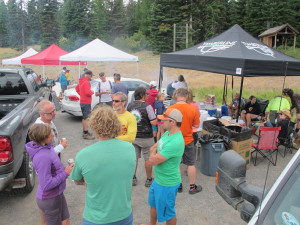
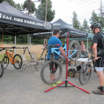
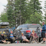
44 trails mountain bikingThanks to everyone who turned out for TrailGate 2015!

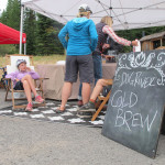
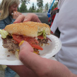
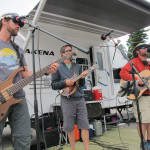
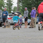
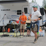
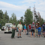
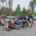
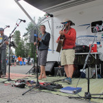
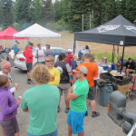
We had a great crew and a great day up on the 44 trail system. The weather was great, trails were ridden, bikes demoed, food eaten, music played and a good time had by all. We estimate over 200 people participated in the event.

We owe a big thanks to sponsors: Timberline Lodge for grilling up the food, Hood River Bicyclesfor serving up great demo bikes, Lets Get Out for organizing kid events, the USFS for the permit and attending the event, plus the band – Cripple Hop for setting the atmosphere with great bluegrass and their own imusic!

Plus all of our swag contributors deserve a shout out including: Mountain View Cycles, Dirty Fingers Bicycles, Dalles City Cyclery, Pfriem Family Brewers, Full Sail Brewing Company, Camp 1805 Distillery, Best Western Plus Hood River Inn, Brian’s Pourhouse, DAKINE, Pine Street Baking, Northwest Graphic Works, Solstice Wood Fire Cafe & Bar.

Trailgate 2015 may be over but the trails are still open to riding. So if you missed out on the event, get up there and enjoy the trails for a chance to enjoy the best single track on the Mount Hood National Forest.

Cooks Meadow Trail Extension

Cooks Meadows Trail Expansion Project

Cooks Meadow Trail Expansion Map

The 44 Trails Association has been working towards building a four mile extension of the Cooks Meadow trail (# 639 – Mt Hood National Forest Cooks Meadow trail description) to replace the upper section that follows the 4410 road. The new section will create a great loop opportunity without using the road.

The USFS has opened the public comment period on the proposed project. Comments are due by July 19, 2015. The more people who comment positively about this project, the easier it is for the district ranger to make the decision to move forward.

The proposed project adds four miles of new multi-use and non-motorized trail, connecting Cooks Meadow to the upper 44 trails network (450/High Prairie/etc – see map of Cooks Meadow project) without having to ride the 4410 road, creating a safer and more enjoyable experience for trail and road users alike.

Read the full USFS letter soliciting comment on the Cooks Meadow Extension (PDF)

Here are a few talking points to consider in your letter of support for the project.
– The trail extension improves safety for trail and road users by eliminating trail/road overlap
– Trail extension projects like Cooks Meadows disperse multi-use traffic and replace multi-use trail miles lost due to 2009 wilderness expansion.
– 44 Trails, through volunteer labor and grant funding, is ready to step up and facilitate the trail project under the direct supervision of the USFS.
– The 44 trails network is a becoming well-known as a destination for non-motorized, multi-use recreation and every new connection creates a new asset and enhances the trail system.

Comments should be sent to:
Comments due by July 19, 2015

Casey Gatz – Mt Hood National Forest
email: cgatz@fs.fed.us
ph: 541-352-1255
US mail:
Casey Gatz / Hood River Ranger District
6780 Hwy 35
Mt. Hood – Parkdale, OR 97041

New signs, conditions and trail etiquette

New Trail Signs and Trail Etiquette Reminder

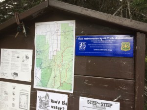
44 trails signageWe got some cool new signs up on the trailhead boards around the 44 zone recognizing our partnership with the USFS for trail maintenance on the 44 trails.

Look for ’em next time you are up for a ride! Here’s one posted on the trailhead board at the Dog River / Surveyor’s junction (it’s the blue sign on the right).

The trails are in perfect condition right now (June 1). There has been just enough rain in the hills to keep the soil moist but no so much as to make ’em wet.

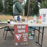
Here’s a quick reminder on trail etiquette: Please remember that all of the 44 Trails are multi-use, non-motorized trails. They are open to hiker, biker and equestrian use. Some trails see more than others from certain user groups, but all are open to everyone and all trails are for two-way traffic. There are no designated downhill only routes. Please be cautious of the multi-use nature and ride with care and control in all situations! Yes, gravity is fun, but to ride at 44 means respecting all users.

Thanks!

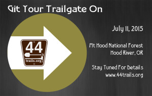
Save the Date – July 11, 2015

Trailgate 2015 44 trails associationOur mild winter has many of us thinking about and riding our mountain bikes earlier than normal this winter. It’s also got us here at the 44 Trails Association planning a summer trail festival day to celebrate and enjoy the 44 trails network. Trailgate 2015!

The details are loose at this point, but the date is set for July 11, 2015. We’re seeing a full day of riding (or hiking) on the Mt. Hood National Forest based out of the Billy Bob SnoPark. It’s located on the 44 Road a couple miles east of the 8-Mile parking zone.

trailgate 2015 44 trails associationWe are lining up plans for an afternoon BBQ and social scene après riding. There’s plenty of great camping in the area and plenty of great trails to explore. Save the date for first annual 44 Trails Association Trailgate, and we’ll keep you posted with more details as they are available.

If you sign up for our mailing list, we’ll send ya the info direct. And we promise not to share your e-mail with anyone else, ever.

Thanks to Local Businesses

sixth street bistroWe’ve been lucky to receive some great financial and material support from local businesses this summer. Thanks to all the burger eating at Sixth Street Bistro and mountain bike rental at the new Hood River Bicycles shop (behind Dog River Coffee) our bank account is fatter than it was in June Both of these guys are sharing profits from with 44 Trails Association!hood river bicycles

And thanks to Dirt Hugger we’ve got some fresh organic matter on several sections of trail badly
in need of such dirt.

Several areas in the 44 zone –
where logging and thinning projects have reduced the canopy – the trails have lost the rich organic soils that help preserve tread integrity. So, we hope that by dirt huggerspreading some killer compost we can help improve trail sustainability. Thanks Dirt Hugger!


P1010014