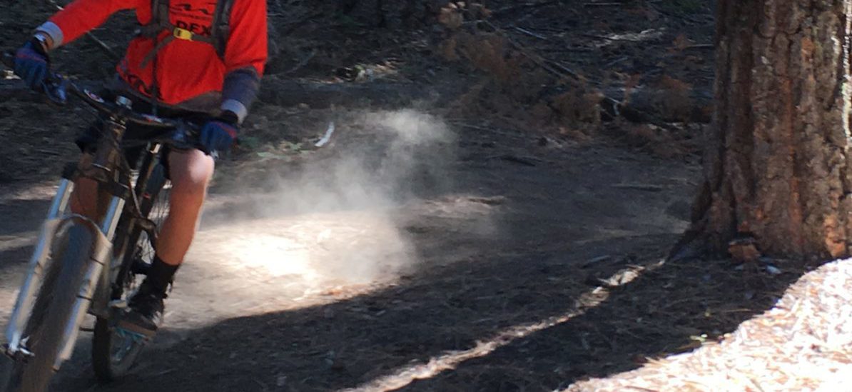
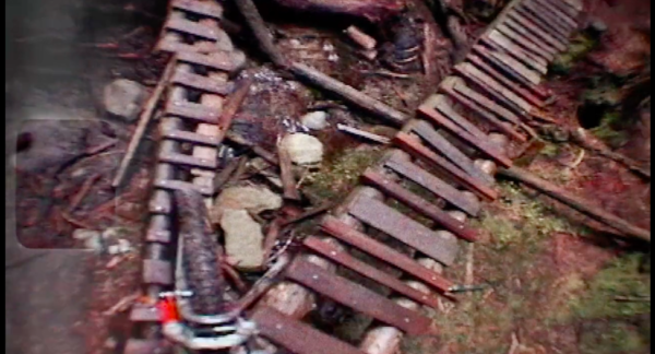
 There’s a new mountain bike movie hitting the street: The Moment. It’s a full-length documentary on the history of freeride mountain biking. It’s heavy on gritty vintage footage from Kamloops, North Shore and Rossland, BC and includes interviews with the pioneers of the sport. Think Dog Town and the Z-Boys but centered around the rise of freeride mountain biking. It won’t hit screens until December, but there’s a great interview with the director, Darcy Turenne, in Bike Mag and the movie trailer is below.
Category Archives: News
Eagle Creek Fire News and Trail Related Closures – 9/10/17
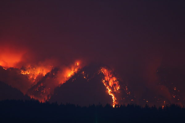 The Eagle Creek Fire in the Columbia Gorge has created a lot of closure notices in the Gorge and on the Mt. Hood National Forest, but the 44 Trails area east of Highway 35 is NOT affected by the closures. The 44 trails and Barlow District are under industrial level fire precautions – no fire, no saws, no shooting – but the trails are open to bicycles, hikers and horses.
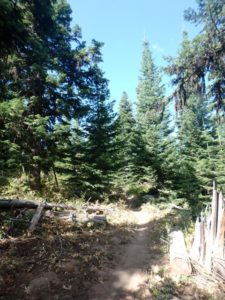 The smoke is primary concern up on the 44 zone and today the area is above the smoke! That’s right, it’s clear and beautiful up on the 44! Of course, smoke impacts change with the wind and weather, so be prepared for it change.
As for closures related to mountain bike trails – Hood River County has closed all county forest land to recreation for the time being. This closure includes Post Canyon on the west side of town. In fact, the west side of Hood River is under a level one evacuation notice – which means “get ready” to evacuate.
Stay up to date with the latest closure and evacuation notices affecting Hood River and Mt Hood area mountain biking:
To read more about Eagle Creek Fire related closures affecting Hood River County – the Hood River Sheriff’s office is the best source of current information: Eagle Creek Fire Closure info for Hood River County
To see the map of Eagle Creek Fire closures related to the Mt Hood National Forest, the USFS is the best source for current information: USFS Mt Hood National Forest Closures as of September 9, 2017
Trail Work Schedule Update – Oct 7 and Oct 28
 Our September 23 Trail Work day is cancelled.
It’s been a long dry spell up on the Mt. Hood National Forest and the USFS currently has a ban on power equipment on the east side that affects the 44 zone. We were hoping to use some motorized toters for the work day to help distribute reject and compost material, so we’re going to hope for a change by October.
We’ve rescheduled for October 7 and October 28.
We look forward to your help on Oct 7 or Oct 28! More info to follow about two weeks before the scheduled date.
You can also subscribe to our e-news letter to stay in the 44 loop. We do not send spam – only news relative to the 44 Trails – work days, trail conditions, closures, events, etc.
Hospital Hill and Whoopdee Trail Fire Hazard Closure in Effect
Hospital Hill and Whoopdee Mountain Bike Trails
Fire Hazard Closure in Effect as of Midnight August 4, 2017
 SDS & Kreps announced the closure of their land as of August 5, 2017 due to fire danger. This means Hospital Hill/Jewett Creek trails and the Whoopdee on the Old Dalles Road are all closed until we get some significant precipitation. Please respect this closure and spread the word.
Here is the announcement…
Local timberland companies are announcing that due to conditions of high fire danger all lands in Klickitat, Skamania, Yakima, Hood River and Wasco Counties will be closed to public entry starting August 5, 2017 until further notice. This closure includes the areas of Burdoin Mountain (aka Hospital Hill) and Underwood Mountain as well as the Whoopdee on the Old Dalles Road in Hood River and affects all lands owned or managed by the following parties: American Forest Management (DGS Timber, LLC), Broughton Lumber Company, Hancock Forest Management (John Hancock Life Insurance and Manulife), Kreps Ranch, Kreps Family LLC, Stevenson Land Company (SDS), and Western Pacific Timber, LLC.
Surveyor’s Ridge Reroute – trail work day August 12, 2017
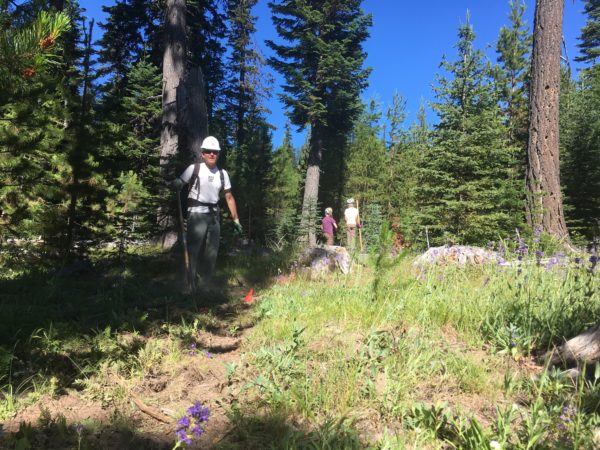 The Surveyor’s Ridge Reroute Continues!
A segment of the Surveyor’s Ridge Trail #688 will be impacted by the City of The Dalles Watershed Pipeline replacement project. The vintage pipeline providing water to the City of The Dalles is being replaced with a modern version. A portion of the pipeline is adjacent to or beneath the south end of the Surveyors Ridge Trail. The pipeline project will permanently change the trail corridor in these locations -creating a 25 foot wide corridor with aggregate placed along the right-of-way.
We re working on a re-route of the Surveyor’s Ridge trail where it follows the pipeline to maintain a semi-primitive trail experience. The reroute also improves interconnectivity of trails in the vicinity by connecting with the Super Connector and will provide a short loop for beginner riders who want a shorter trail experience than Surveyors Ridge. READ MORE about the Surveyor’s Ridge Reroute Project and check out project map.
Trail Work Day – Surveyor’s Ridge Reroute Project
We will working on the Surveyor’s reroute doing the initial clearing and rough-in work that will establish the new route.
REQUIRE EQUIPMENT:
Hardhats (bike helmets ok), long pants, work gloves and work boots, water.
WHEN:
Saturday, August 12, 2017 @ 9am – 2pm (plenty of time for a post-work-project ride)
Meet 9am @ Little John SnoPark on Highway 35
We’ll have coffee thanks to Dog River Coffee in HR and sign-in at the SnoPark and then move up to the work site as a group. Lunch will be provided by NY City Subs in Hood River.
PROJECT:
Handbuilt singletrack on Surveyor’s ridge re-route. We will be doing rough in and route trimming/clearing.
TOOLS:
 Helmet/hardhat (bike helmets ok), long pants, gloves, and work boots required.
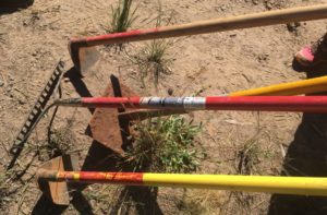
Hand tools only – Pruning Saws, Flat Shovels, McCleods, Loppers, Metal Rakes (NO chainsaws please).
It gets warm up there – please be sure to bring water and sunscreen.
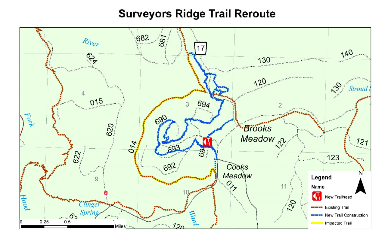
Here is the map showing the approximate route of the Surveyor’s Ridge trail project. The existing trail (yellow) will be disrupted by the new pipeline – the new route (blue) shows the tentative routes to connect with the SuperConnector (brown) near the 17 Road.
Trail Work Day – Saturday, July 22 – Surveyor’s Ridge Reroute Project
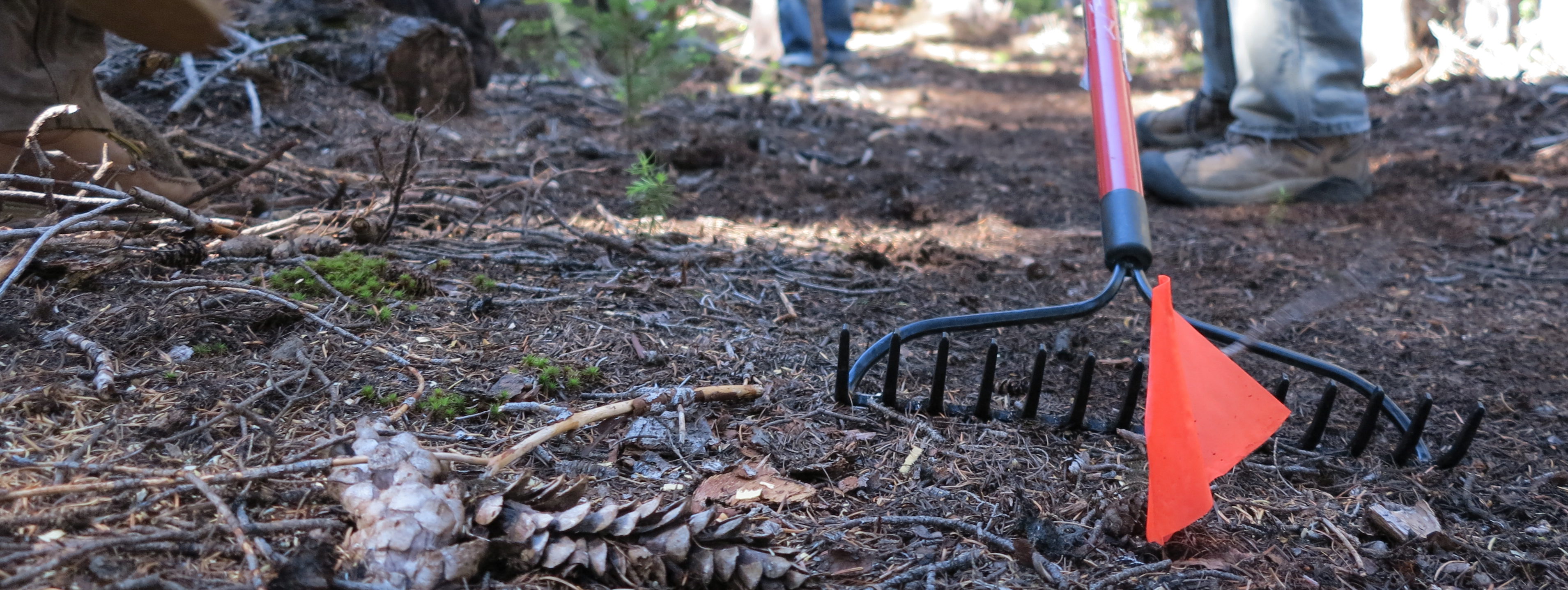 Trail Work Day – Surveyor’s Ridge Reroute Project
Our first big trail work day of the summer is one week away – Sat July 22. We will working on the Surveyor’s reroute doing the initial trimming, clearing and rough-in work that will establish the new route. (The upper Surveyors route is being relocated to due to the pending large-scale Dalles Watershed pipeline project – and it’s a nice upgrade of the existing two-track start.)
Hardhats (bike helmets ok), long pants, work gloves and work boots REQUIRED!
WHEN:
Saturday, July 22, 2017 @ 9am – 2pm (plenty of time for a post-work-project ride)
Meet 9am @ Little John SnoPark on Highway 35
We’ll have coffee thanks to Dog River Coffee in HR and sign-in at the SnoPark and then move up to the work site as a group. Lunch will be provided by NY City Subs in Hood River.
PROJECT:
Handbuilt singletrack on Surveyor’s ridge re-route. We will be doing initial rough in and route trimming.
TOOLS:
Helmet/hardhat (bike helmets ok), long pants, gloves, and work boots required.
Hand tools only – Pruning Saws, Flat Shovels, McCleods, Loppers, Metal Rakes (NO chainsaws please).
It gets warm up there – please be sure to bring water and sunscreen.
Wildflower Season and Great Trail Conditions
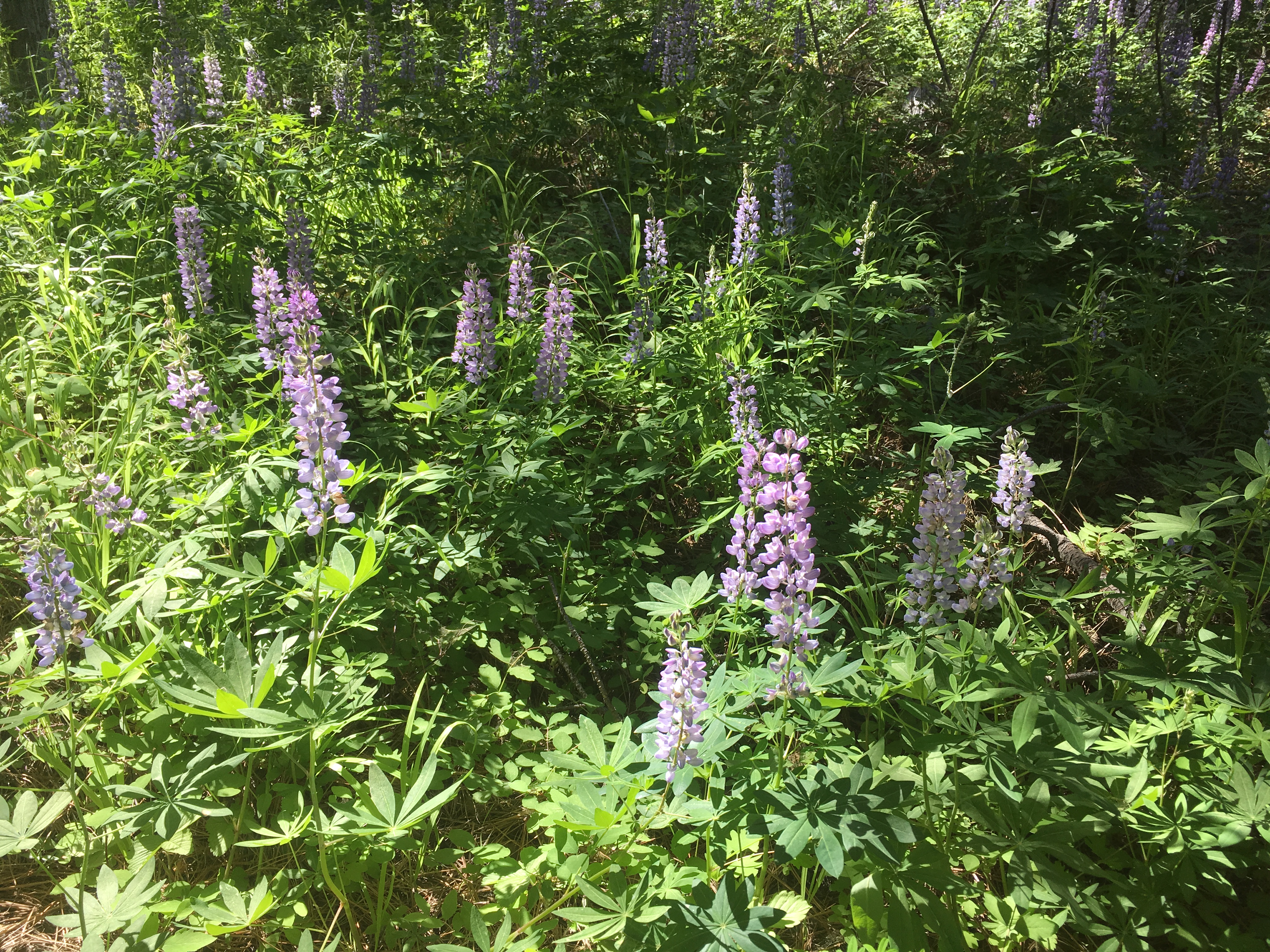
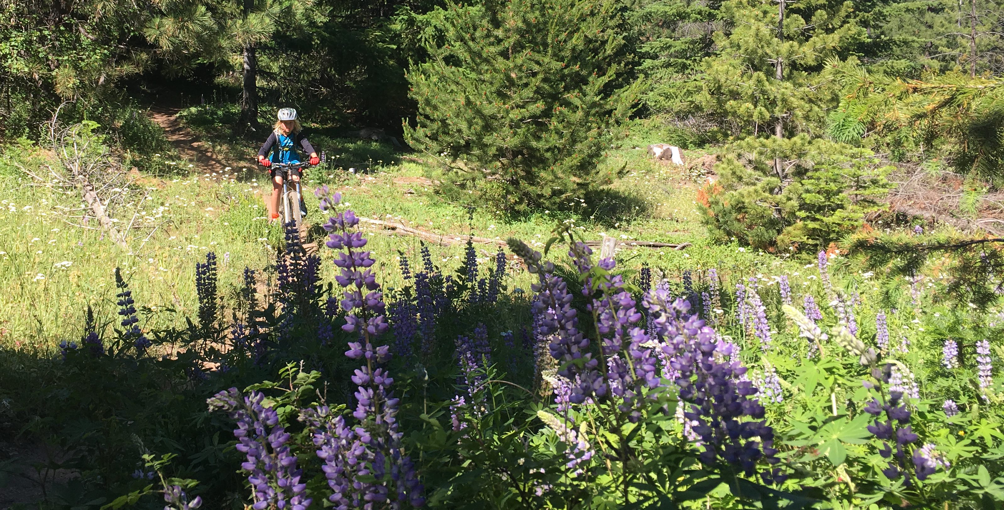 It’s wildflower season up the 44 Trails mountain bike network.
Trails are in prime condition right now! Beat the heat in Hood River and head to the Mt. Hood National Forest for some of the best trail conditions of the season.
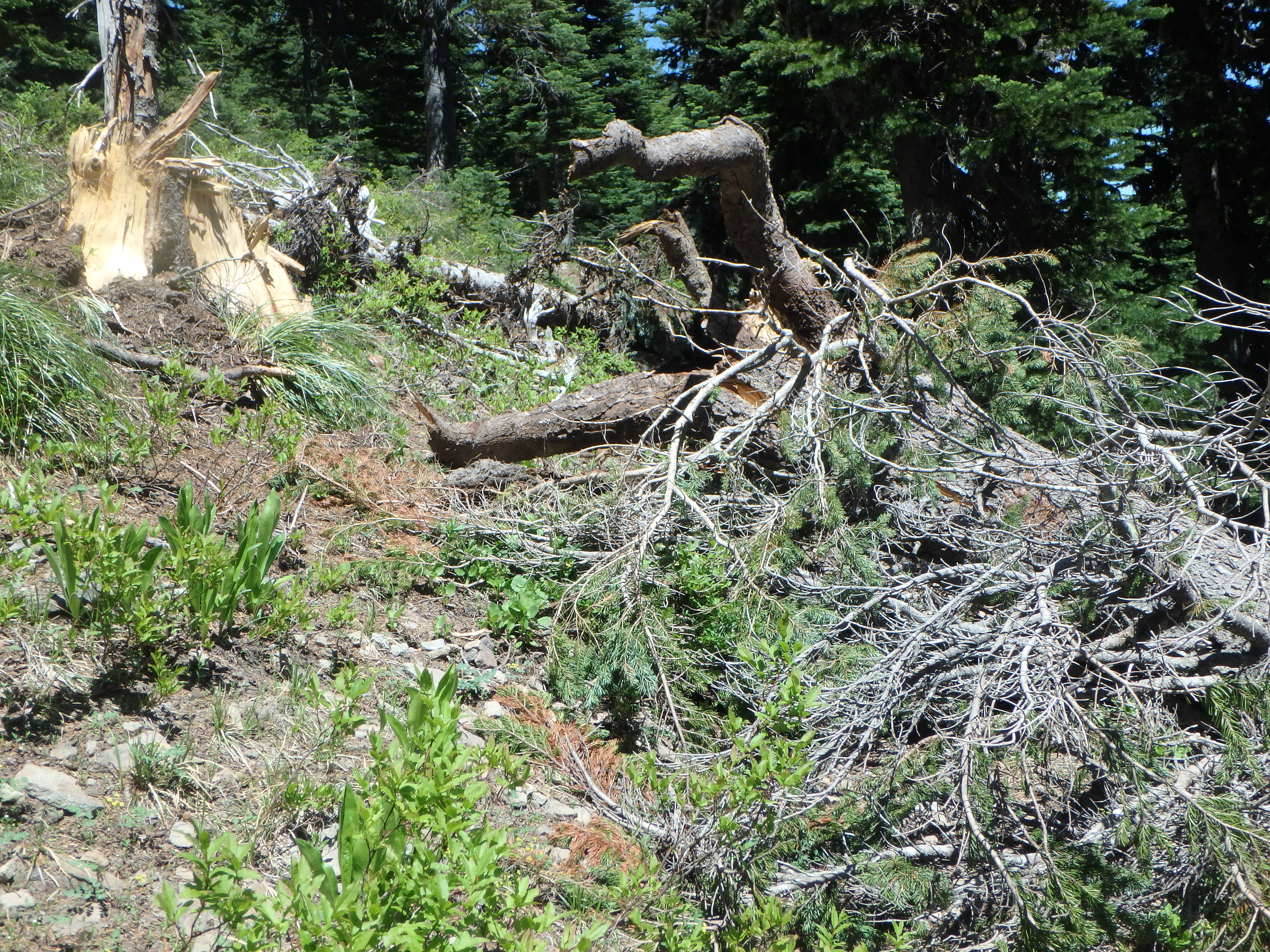
The wild flowers are peaking and trails are riding great. We’ve got the bulk of the trail system cleared of downed trees and its just lingering high elevation spots and more remote trail sections (Boulder/Forest Creek/Gunsight Butte) that still have snow and/or blowdown. Lookout, Cooks, Knebal, Eightmile, Fifteenmile, Surveyors, Dog River, Bottle Prairie, etc are all good to go.
44 Trails Conditions July 1 – High Elevation Status
The Best Singletrack Mountain Biking on the Mt Hood National Forest
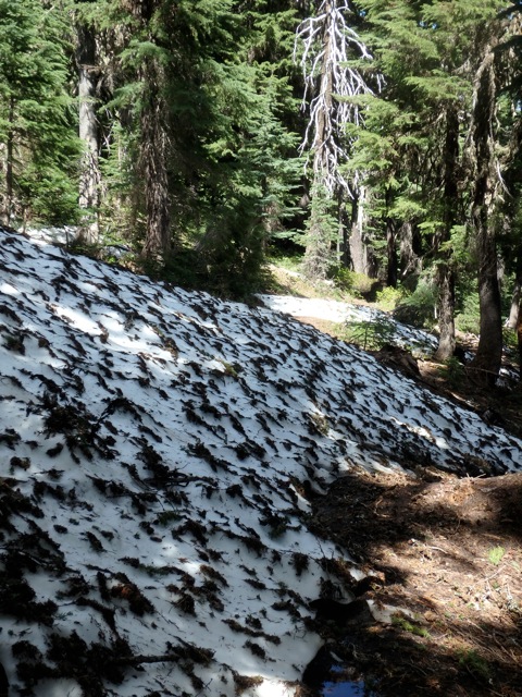
Gunsight Ridge Trail #685 – Closed by significant snow and downed trees. 3-5 foot snow berms – Estimate 2-3 weeks before clear.
Boulder Lake / Forest Creek zone – Less snow but not yet maintained or cleared of trees
Cooks Meadow trail #639 – Ridable with caution – a few downed trees – upper section has a few areas under construction but it’s open to ride – carry a hand saw and help cut out the lingering blowdown. Hope to have the few remaining trees cleared by July 4.
Lookout / #450 – Ridable with caution – 3-4 trees down and a few small snow patches – carry a hand saw and help cut out the lingering blowdown.
Knebal Springs Trail #474 – Cleared and OPEN
Bottle Prairie Trail #455 – Cleared and OPEN
Eightmile Trail #496 – Cleared and OPEN
Oak Ridge Trail #688A – Cleared and OPEN
Super Connector – Cleared and OPEN
Dog River Trail # 675 – Cleared and OPEN
Surveyor’s Ridge Trail #688 – Cleared and OPEN
15 Mile / Cedar Creek loop trails #456/#457 – Clear and OPEN
Latest 44 Trails Conditions Update June 26
Singletrack Mountain Biking Mt Hood National Forest – Our first trail work day is July 22 – more details soon! Sign up for our email list to be notified of work days, trail conditions, and to get a free digital map of the area!
Here’s the latest 44 trails conditions report as of Monday June 26, 2017:
The Best Singletrack Mountain Biking Mt Hood National Forest
Knebal Springs Trail #474 – Cleared and OPEN
Bottle Prairie Trail #455 – Cleared and OPEN
Eightmile Trail #496 – Cleared and OPEN
Oak Ridge Trail #688A – Cleared and OPEN
Super Connector – Cleared and OPEN
Dog River Trail # 675 – Cleared and OPEN
Surveyor’s Ridge Trail #688 – Cleared and OPEN
15 Mile / Cedar Creek loop trails #456/#457 – Clear and OPEN
Cooks Meadow trail #639 – Ridable with caution – a few downed trees – upper section has a few areas under construction but it’s open to ride – carry a hand saw and help cut out the lingering blowdown.
Lookout / #450 – Ridable with caution – 3-4 trees down and a few small snow patches – carry a hand saw and help cut out the lingering blowdown.
Extra Beta
– Cooks Meadow has a handfull of small trees and couple sections are still under construction but rideable with caution
– Lookout / 450 has four trees down and a few patches of snow – all rideable with caution.
If you plan to ride and have a handsaw – please cut back five feet either side of trail!
44 and 4410 roads are fully open – High country trails like Gunsight, Boulder, Forest Creek still have significant snow sections and unknown tree blowdown.
44 Trails Conditions Update – June 9
44 Trails Conditions Report – Surveyor’s, Fifteenmile, Eightmile, Knebal and more!
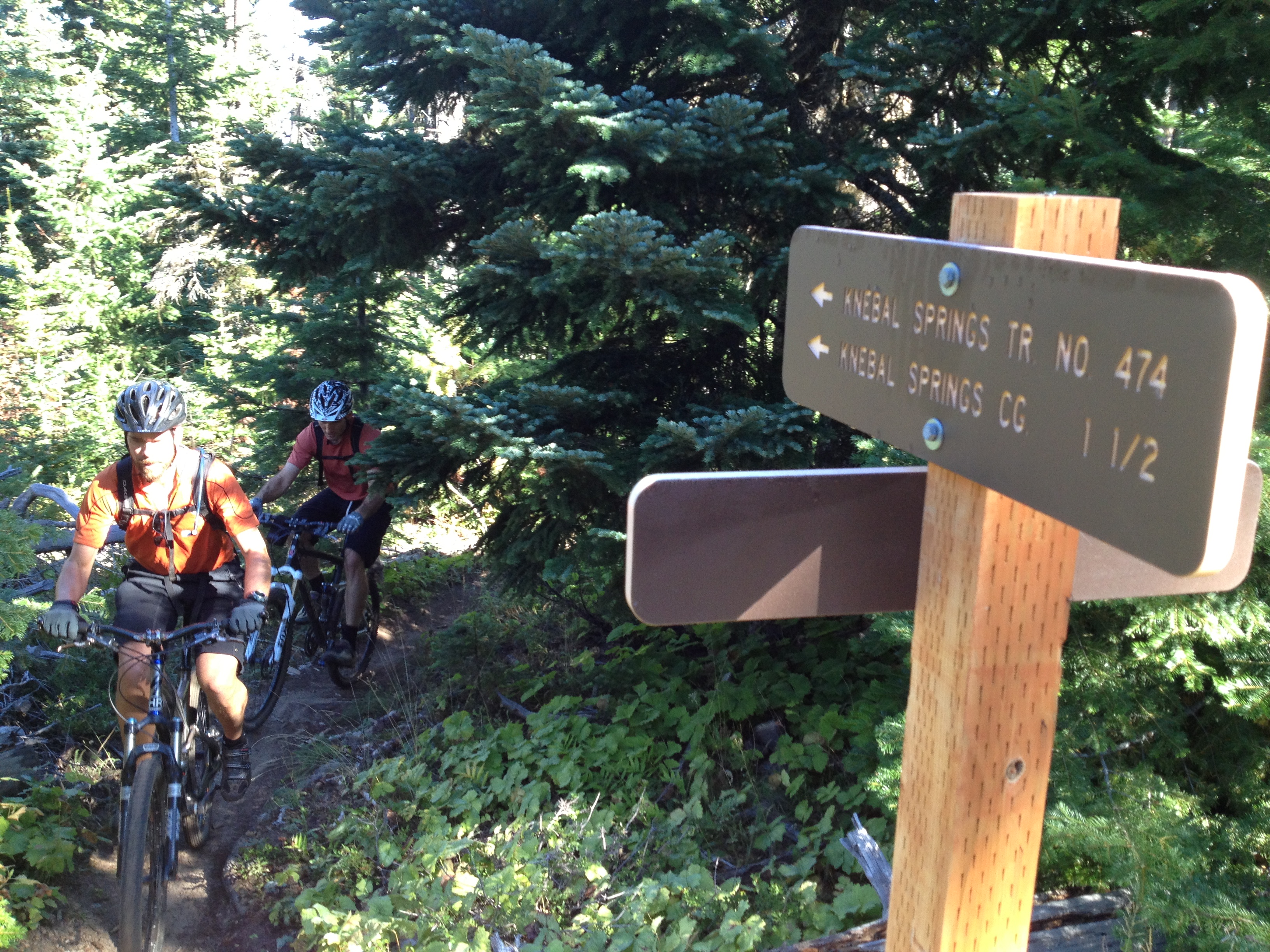 We’ve got more trails open in the 44 zone!
Here’s the latest report as of Friday June 9, 2017
Knebal Springs Trail #474 – Cleared and OPEN – a few snow patches but ridable
Bottle Prairie Trail #455 – Cleared and OPEN – a few snow patches but ridable
Eightmile Trail #496 – Cleared and OPEN – a few snow patches but ridable
Oak Ridge Trail #688A – Cleared and OPEN
Super Connector – Cleared and OPEN
Dog River Trail # 675 – Cleared and OPEN
Surveyor’s Ridge Trail #688 – Cleared and OPEN
15 Mile / Cedar Creek loop trails #456/#457 – Clear and OPEN
Cooks Meadow trail #639 – BLOWDOWN likely – snow possible upper end
Lookout / #450 – CLOSED – SNOW / BLOWDOWN
The 44 Road is fully open but the 4410 and other spur roads in the area still have snow, especially above 4,500 feet. High country trails like Gunsight, Boulder, Forest Creek are still under significant snow.
Eightmile, Knebal and Fifteen mile campgrounds are also open!

