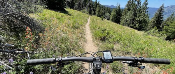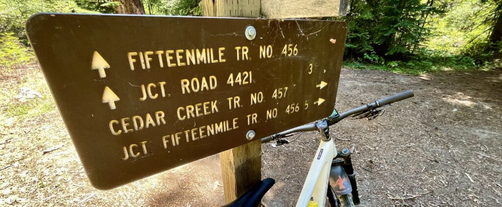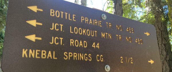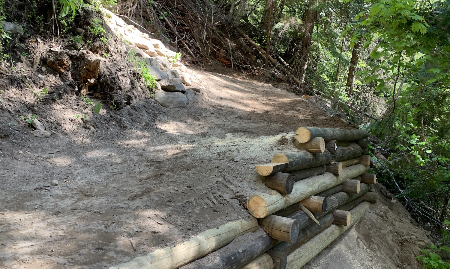
Finally, our dedicated supporters deserve a big thanks for another great season of support, too! Please support the local businesses who support your local trails!
Author Archives: 44trails
Shuttle Day and Hidden Meadows Trail Work – 10/26-27
Heads up 44 riders. We have a full weekend of 44 Trails events coming your way on October 26-27.
FUNDRAISER SHUTTLE RIDE DAY – Oct 26, 2024
9am-3pm @ Eightmile Campground
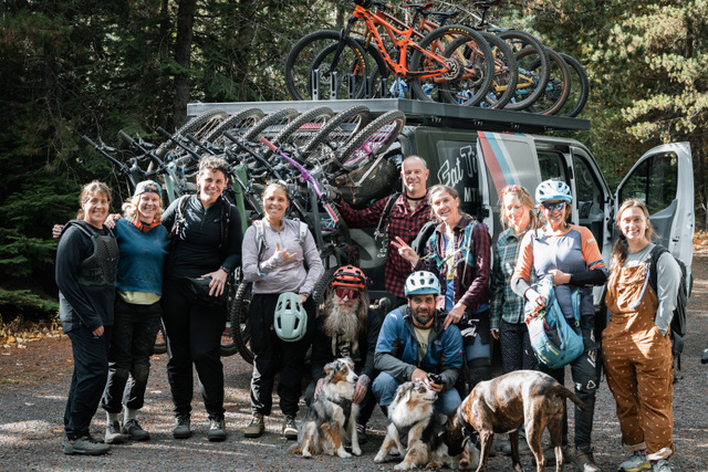
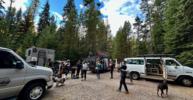
Join us on October 26th for our first-ever shuttle ride fundraising event! We’re partnering with Oregon Territory Outfitters, Fat Tire Farm, the USFS, and Loam Coffee Roasters for a weekend of free mountain bike shuttles. A donation to 44T is greatly appreciated.
TRAIL WORK DAY – Oct 27, 2024
Hidden Meadows to Cane Creek connector trail
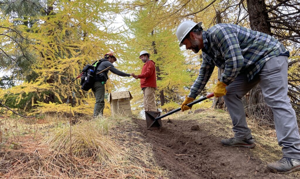
Join 44 Trails for a trail work day at Hidden Meadows Trail (south) #472 in the Boulder Lakes network.
There will be lunch for everyone, thanks to NY City Subs in Hood River.
WHEN: Sunday, October 27th, 9 am
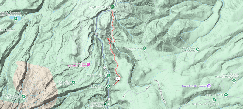
WHERE: Meet at White River East Sno-Park at the intersection of Hwy 35 and FS48. We will caravan down to the work spot at the end of Hidden Meadows (#472).
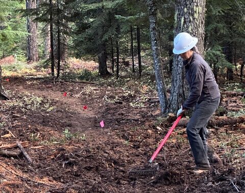
SCOPE OF WORK: We are building an extension trail from the south end of Hidden Meadows to connect with Crane Creek Trail to exclude the road. If you haven’t ridden this gem of a network, come get familiar.
With a shortened maintenance season the last few years (late snow melt and early fire restrictions), we recognize that maintenance has piled up and are working on getting as much done as we can before the snow flies so it is a more rideable network next year. FYI, Hidden Meadows is now cleared and rideable.
WHAT: Building an extension trail from Hidden Meadows to connect with Crane Creek.
REQUIRED: Long pants, work boots, gloves, day pack, water, snacks, bike helmet, eye protection. Bring dirt-digging tools if you have ‘em.
Follow the 44 Trails Association on Instagram
WyEast Wonder Trail Running Race September 7, 2024
Wy’East Wonder Trail Running Race
September 7, 2024
Heads up! The WyEast Wonder Trail Running Event takes place on September 7.
It uses the following trails in the 44 system:
Surveyors Ridge, Super Connector, Knebel Springs, Bottle Prairie, 8-Mile, Gunsight Ridge, Bennett Pass Road, and Oak Ridge
Please watch out for runners. They will be watching out for you, too.
And please do not move or disturb the orange course markings, as this could endanger racers. The markings will be removed immediately following the race.
All trails are open to other designated users during the event.
Course maps are on the race website: 50mile course and 50km course.
44 Trails Conditions Update 7/1/24
44 Trails Conditions Update
More trails cleared for riding!
The following trails are clear and ready to ride:
Newly cleared:
Upper 450
Upper Cooks
Gunsight Ridge
Previously cleared:
Fifteenmile
Cedar Creek
Underhill
Dog River Trail
Surveyor’s Ridge Trail
The Hub Trail
The Super and Super Duper Connector Trails
Eightmile
Knebal
Bottle Prairie
Cooks Meadow (from 44 to 650 road)
Lookout (from 44 to 4420)
Yet to be cleared:
– There’s still a little snow (1/2 mile section) on Gunsight (as of 6/30)
– The more remote backcountry zones, including Boulder, Crane Creek, Hidden Meadows and Forest Creek, have yet to be cleared
Check out the full 44 Trails system map on RideWithGPS
44 Trails Conditions Update 6/7/24
44 Trails conditions update – 6/7/24
More 44 Trails cleared for riding!
The following 44 trails are clear and ready to ride:
Newly cleared:
Fifteenmile
Cedar Creek
Underhill
Previously cleared:
Dog River Trail
Surveyor’s Ridge Trail
The Hub Trail
The Super and Super Duper Connector Trails
Eightmile
Knebal
Bottle Prairie
Cooks Meadow from 44 to 650 road)
Lookout (from 44 to 4420)
Yet to be cleared:
– Upper 450 (Lookout) still has snow (and trees yet to be cleared) above the junction to Fifteenmile
– Other high-elevation zones, including Gunsight, Boulder, Crane Creek, Hidden Meadows and Forest Creek
Happy riding!
Check out the RWGPS map of the 44 Trail system
More Trails Ready to Ride – Trail Conditions Update 5/31/24
Trail Conditions Update
5/31/24
More trails cleared for riding!
The following trails are clear and ready to ride:
Dog River Trail
Surveyor’s Ridge Trail
The Hub Trail
The Super and Super Duper Connector Trails
Eightmile
Knebal
Bottle Prairie
Cooks Meadow from 44 to 650 road)
Lookout (from 44 to 4420)
Fifteenmile and Cedar are snow-free, but you should expect to encounter some downed trees. They are next on the list to get cleared.
See you out there!
Help support our efforts to maintain the 44 Trails
44T Spring Trail Conditions Update
44 Trails Conditions Update 5/24/24
Thanks to those who helped out last weekend with tread and corner work on Dog River!
Just a heads up that a majority of the 44 Trails system is still under snow and has yet to be cleared of winter blowdown. Snow-covered trails include much of Eightmile, Bottle Prairie, Lookout, Knebal, Fifteen Mile etc.
The good news is that there are a few trails ready to ride!
The following trails are clear and ready to ride:
Dog River Trail
Surveyor’s Ridge Trail
The Hub Trail
The Super and Super Duper Connector Trails
Also, heads up, the Dog River Super D race will take place this Sunday, May 26, so plan your riding accordingly.
See you out there!
support our volunteer trail stewardship efforts with a financial contribution!
Fall Trail Work Days
Join us October 15 and November 4 for fall work parties!
We are planning work on Surveyor’s, Knebal and Dog River.
Sign up for our mailing list or follow us on Instagram to get work party notifications and details
Boulder Fire Info
Boulder Fire Update – Mt Hood National Forest: Updated Jul 26, 2023
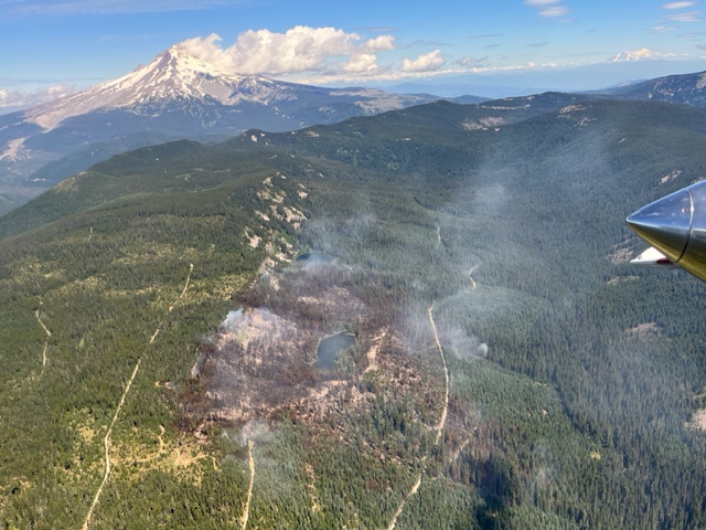
The good news is that the Boulder Fire was successfully contained after burning about 250 acres around Boulder Lake. The bad news is that some fire closures are still in effect and they impact a number of trails in the Boulder Lake area.
You can read the latest Fire Closure Order here.
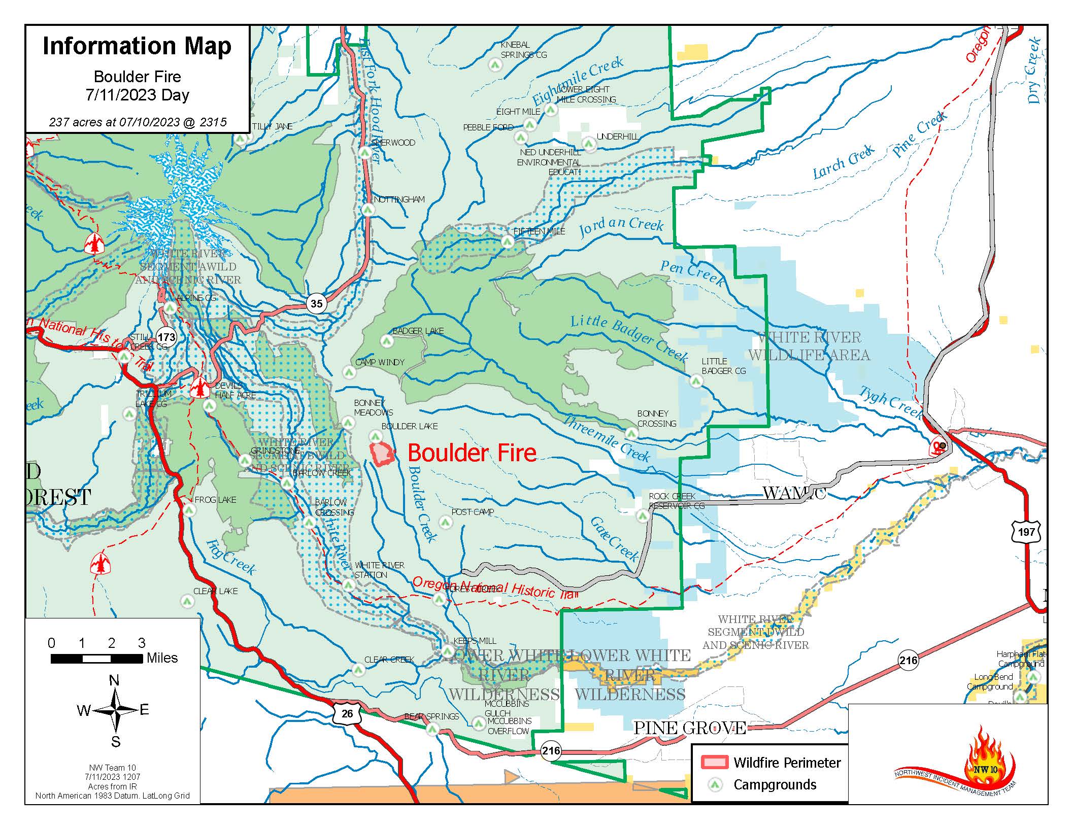
And here is a Boulder Fire Closure Map
____________________________________
Boulder Fire – Mt Hood National Forest: Updated Jul 13, 2023
A fire in the vicinity of Boulder Lake on the Mt Hood National Forest is forcing closures to campgrounds, roads and trails in the area.
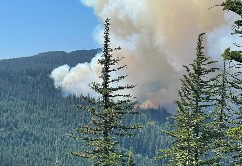
Firefighters are engaged in suppressing the Boulder Fire, which started on July 8 southeast of Mt. Hood on the Barlow Ranger District near Boulder Lake Trailhead. As of July 13, the fire is estimated to be about 300 acres.
The following road, trail and campground closures are in effect. As of July 13, the USFS published an official closure area with additional trails, roads and campgrounds closed due to the Boulder fire.
Below are the closures of primary interest to mountain bikers, but beside to read the full Boulder Fire Closure document if you are planning any outings east if Highway 35 on the Mt Hood National Forest.
Trail Closures:
Boulder Lake Trail #463 #463A and #463B
Forrest Creek Trail #473
Hidden Meadows Trail #472
Crane Creek Trail #478
Gunsight Ridge #685
Crane Prairie #464
Gumjuwac #480
Road Closures:
FR 4880
FR 4881
FR 4890
Campground Closures:
Boulder Lake Campground
Little Boulder Lake
Bonney Meadows Campground
Badger Lake Campground
Camp Windy
Post Camp Campground
The fire is burning in a heavily forested area on steep slopes. Four engines, four hotshot crews and two heavy helicopters are actively working on the fire, with additional resources en route.
A larger area closure is in the process of being implemented for public safety. Visitors are asked to avoid the area as conditions can change quickly.
Visit the Mt. Hood National Forest News and Events page or our Facebook page at www.facebook.com/mthoodnf for current information.
Boulder Fire Map